Antique Maps
A unique part of our collection of original art includes antique maps. These maps are authentic, original maps from the 16th through the 19th century. Although multiple maps were printed from engraved copper and steel plates, each map is unique. It was common practice for these black and white maps to be colored years later by many different specialists. As a result, no two colored maps are the same.
Through our affiliate antique map dealer, Mapcarte, we have access to a broad inventory of beautiful maps of Africa, the Americas, Asia, the British Isles, Europe and the World. In addition, Mapcarte specializes in helping clients “find the perfect map.” If the map you are seeking is not in our inventory, a custom search is easily executed and is ideal to identify several attractive options that fit your criteria.
To begin, please share with us what you are looking for in a map.
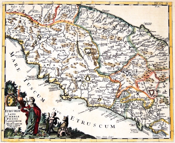
“Etruriae Latii Umbriae Piceni Sabinorum et Marsorum…”
c. 1711
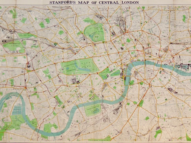
“Stanford’s Map of Central London”
c. 1936
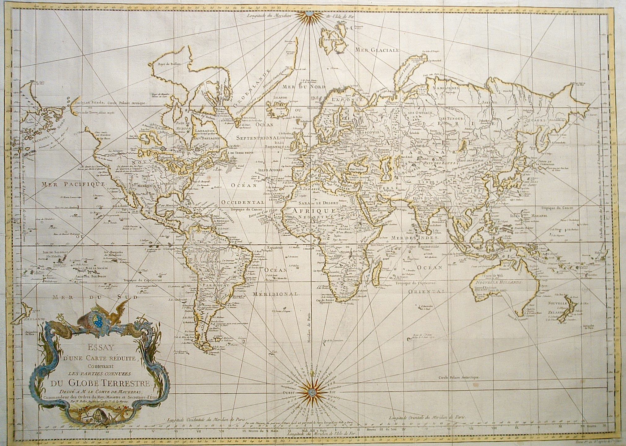
“Essay d’une Carte Reduite, du Globe Terrestre”
c. 1748
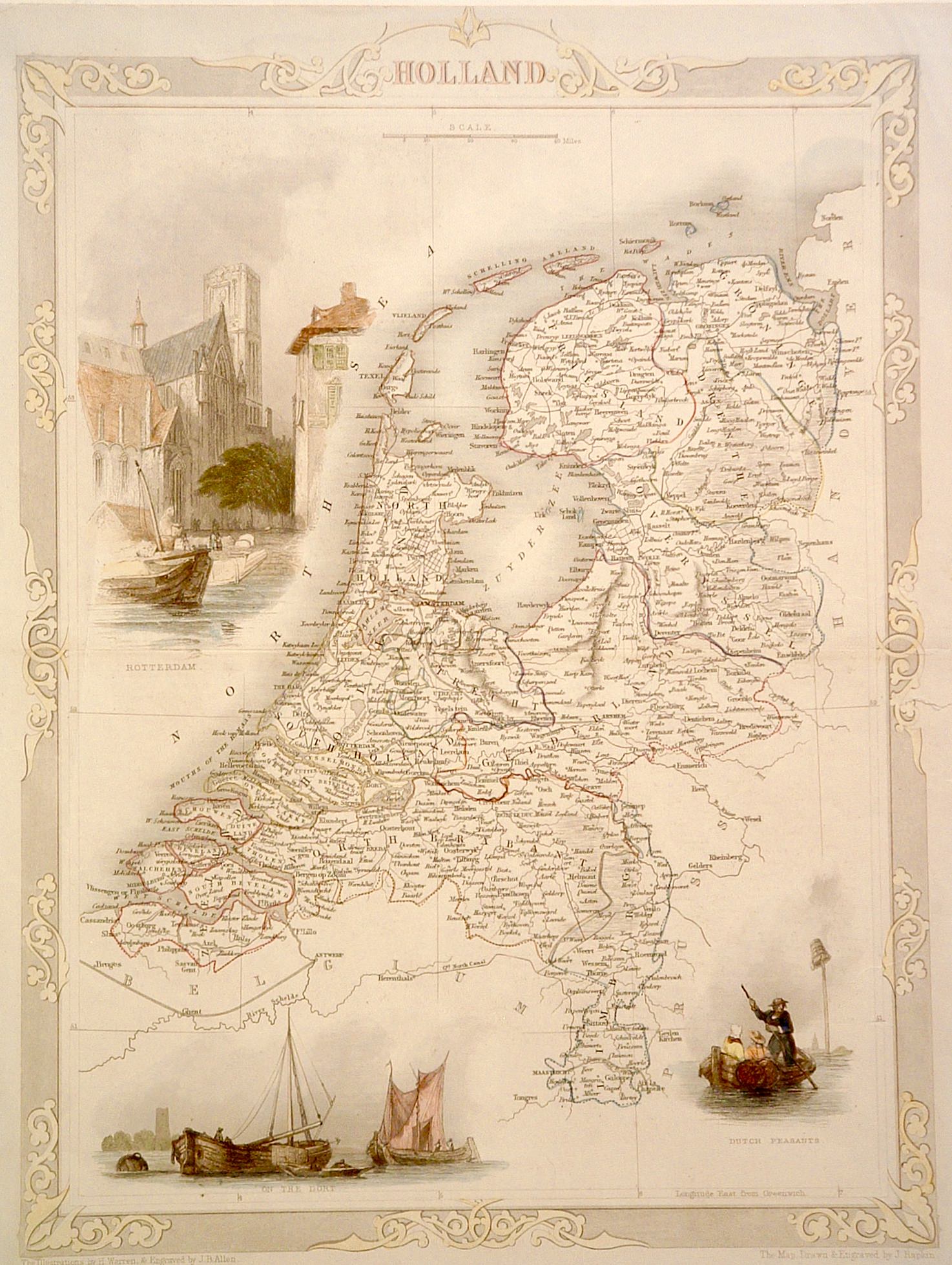
“Holland”
c. 1850
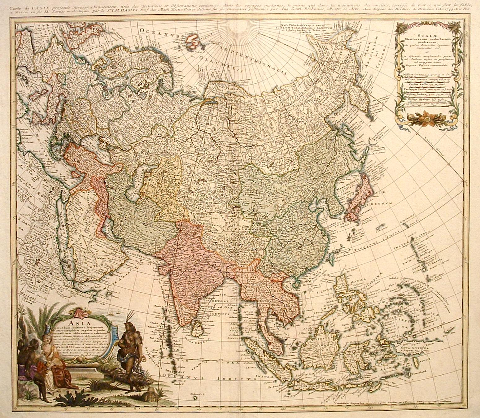
“Asia Secundum Legitimas…”
c. 1744
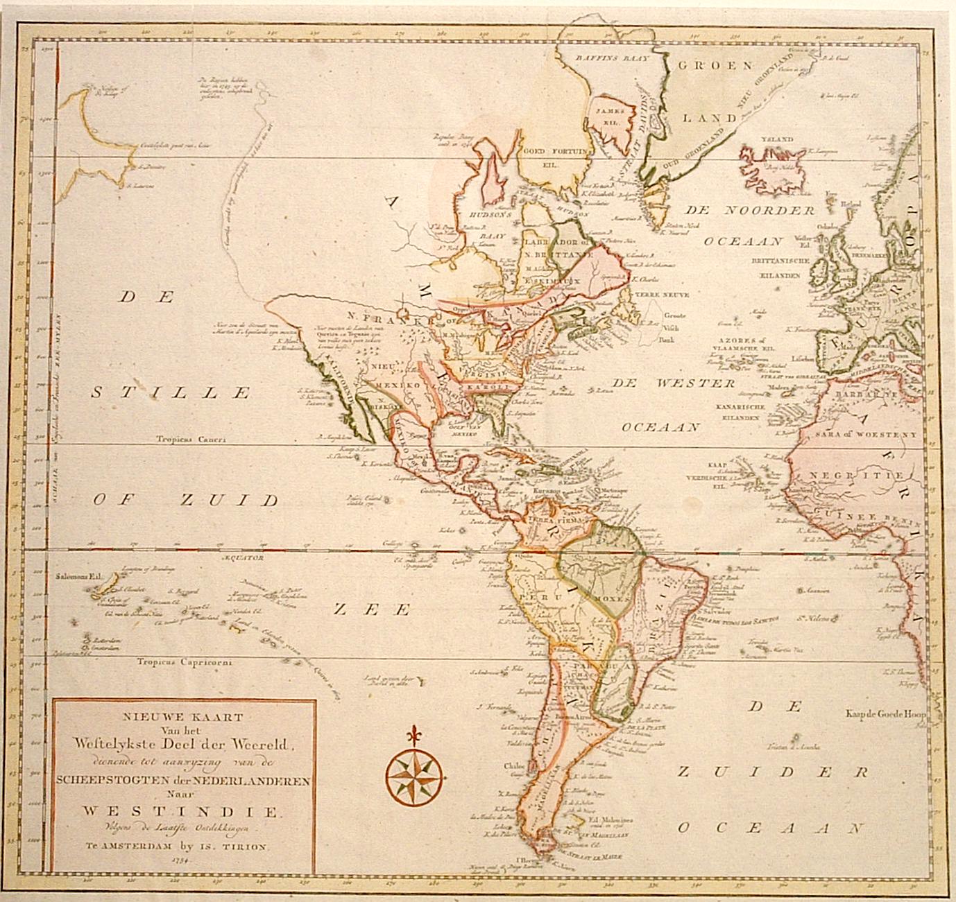
“Nieuwe Kaart Van het Westelykste Deel der Weereld”
c. 1754
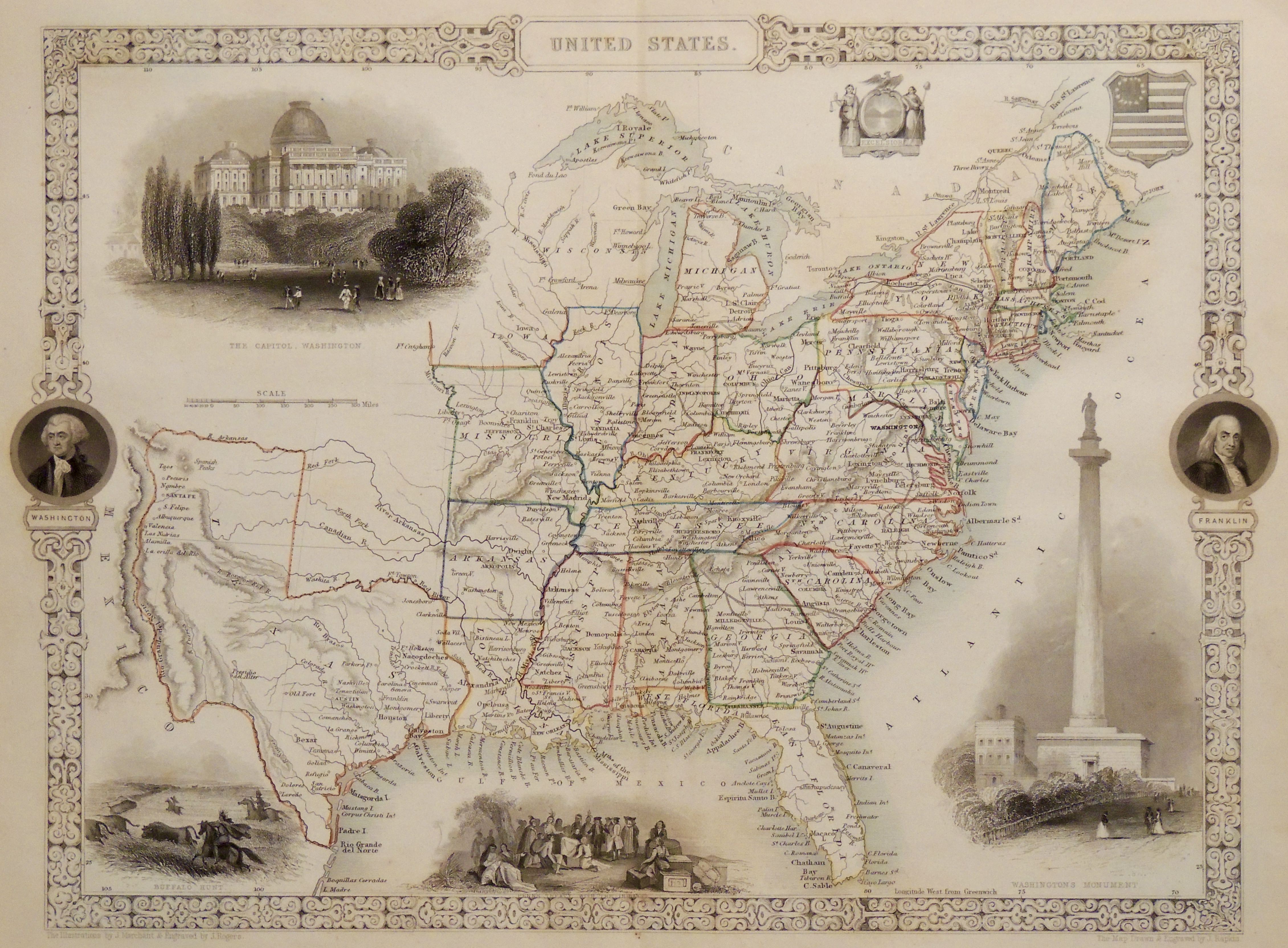
“United States”
c. 1850
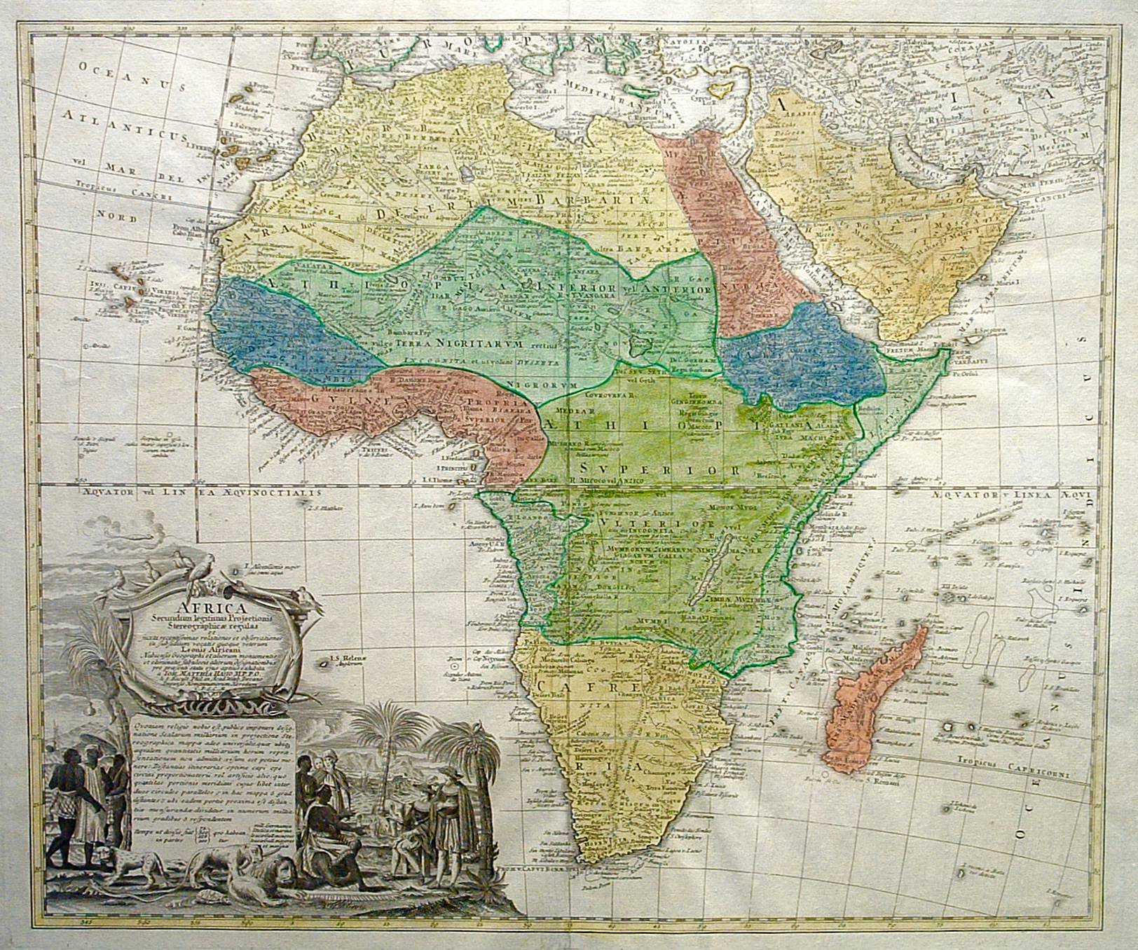
“Africa Secundum Legitimas”
c. 1737
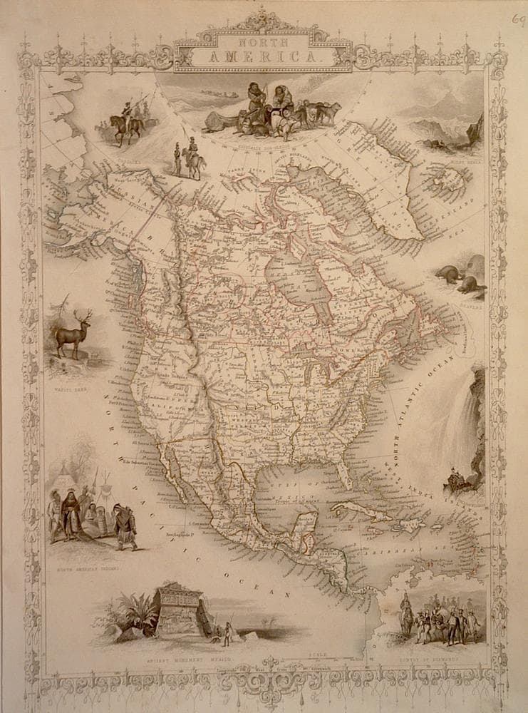
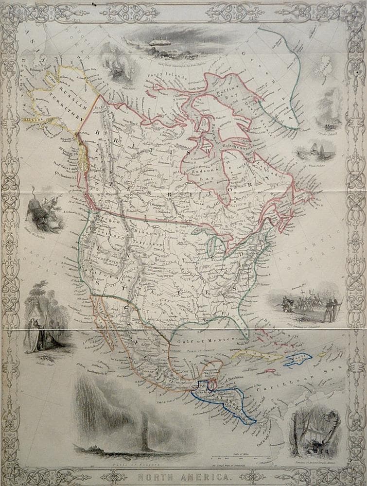
“North America”
c. 1851
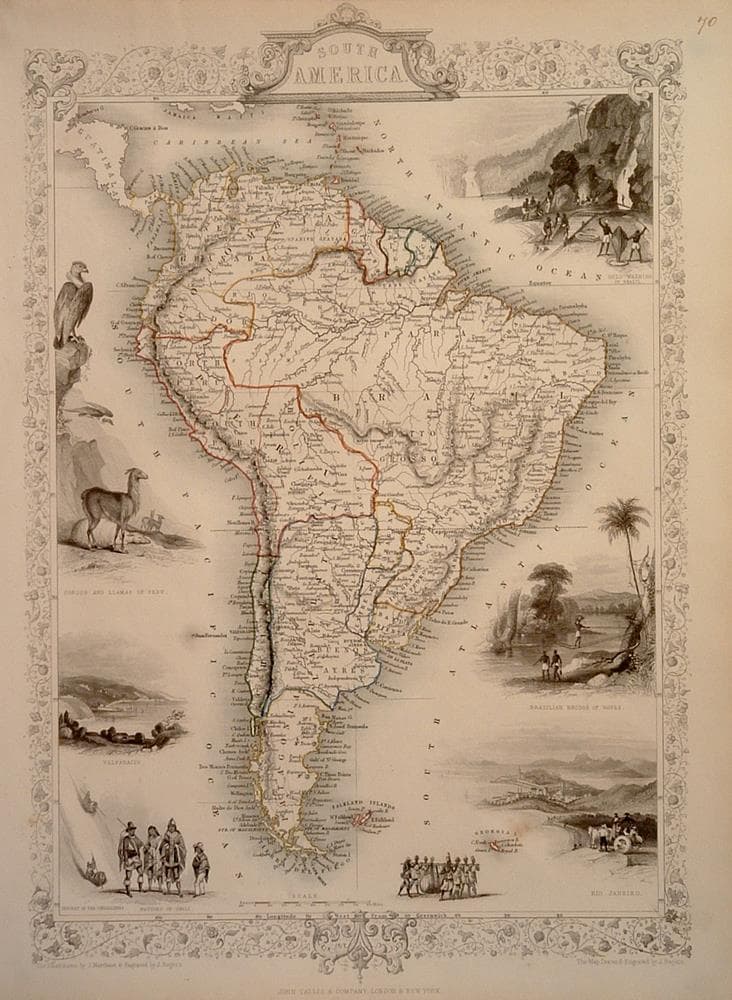
“South America”
c. 1851
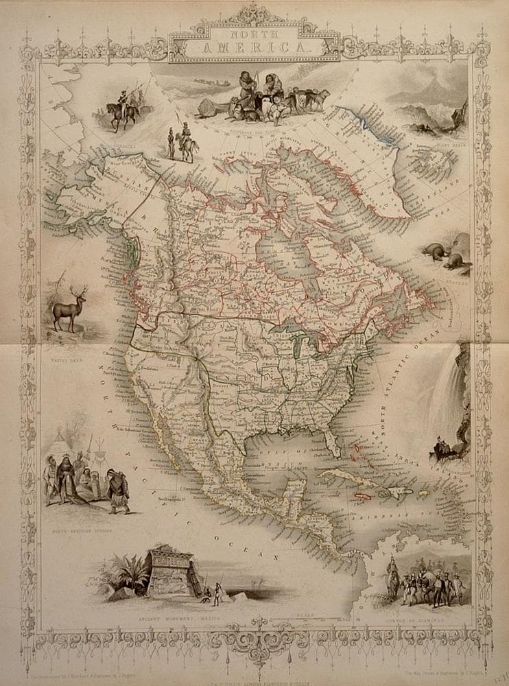
“North America”
c. 1850
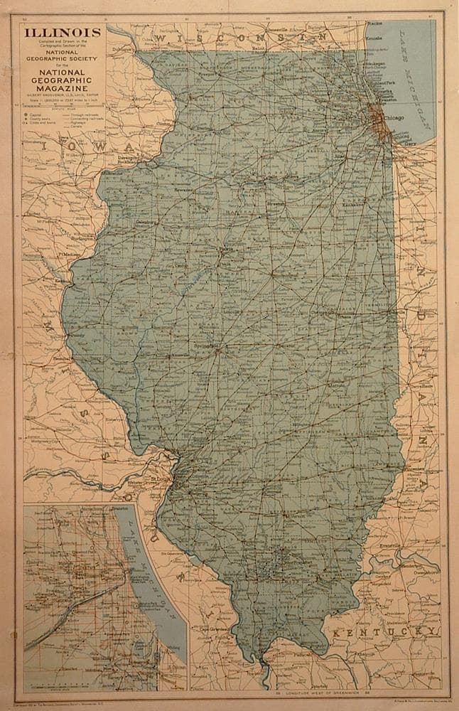
“Illinois”
c. 1931
“North America”
c. 1850
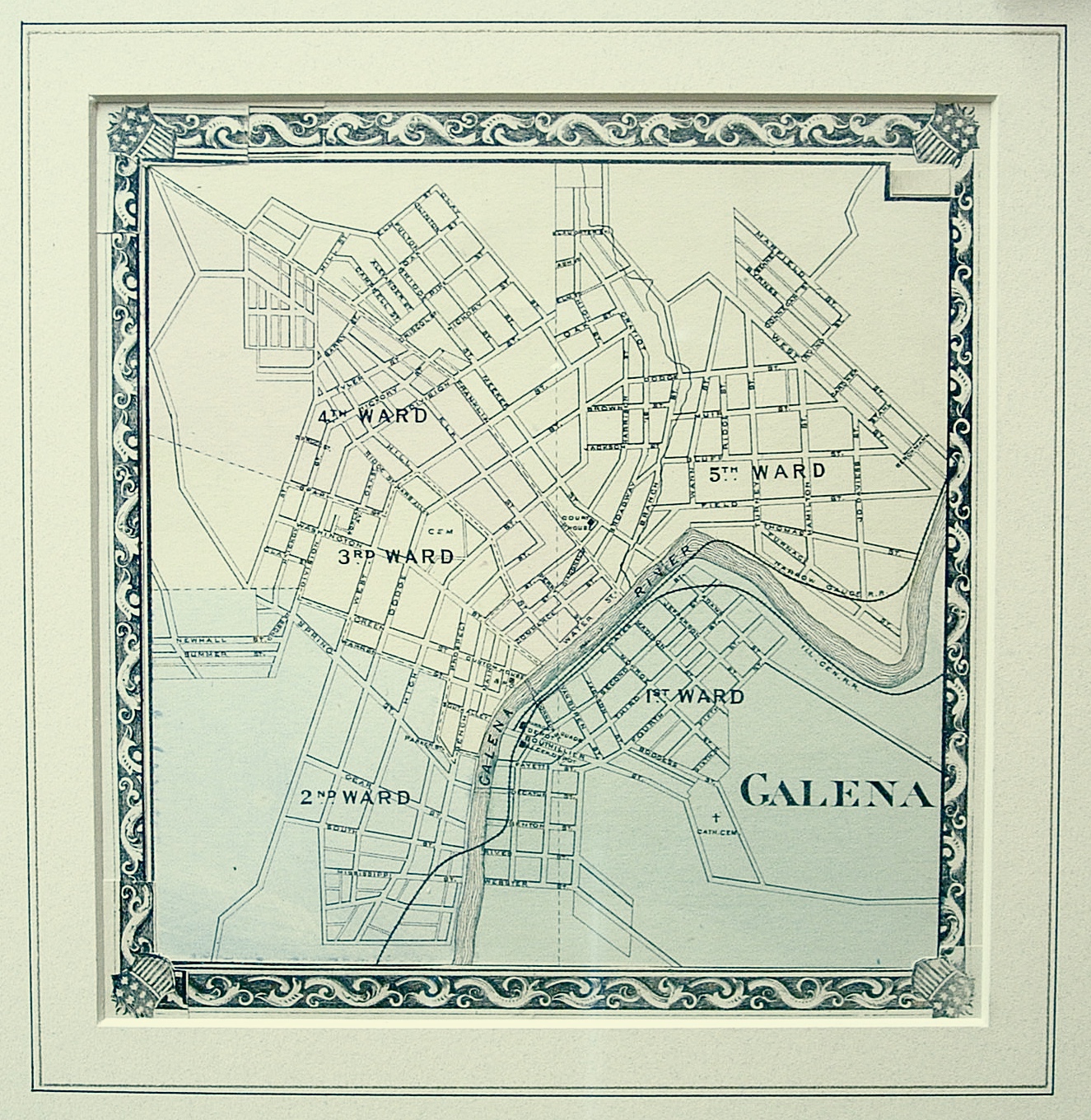
“Galena”
c. 1876
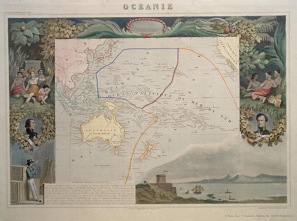
“Oceanie”
c. 1845
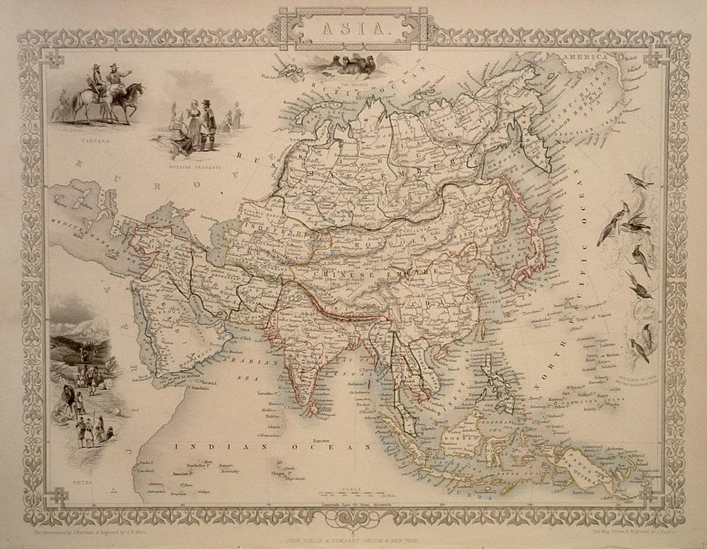
“Asia”
c. 1850
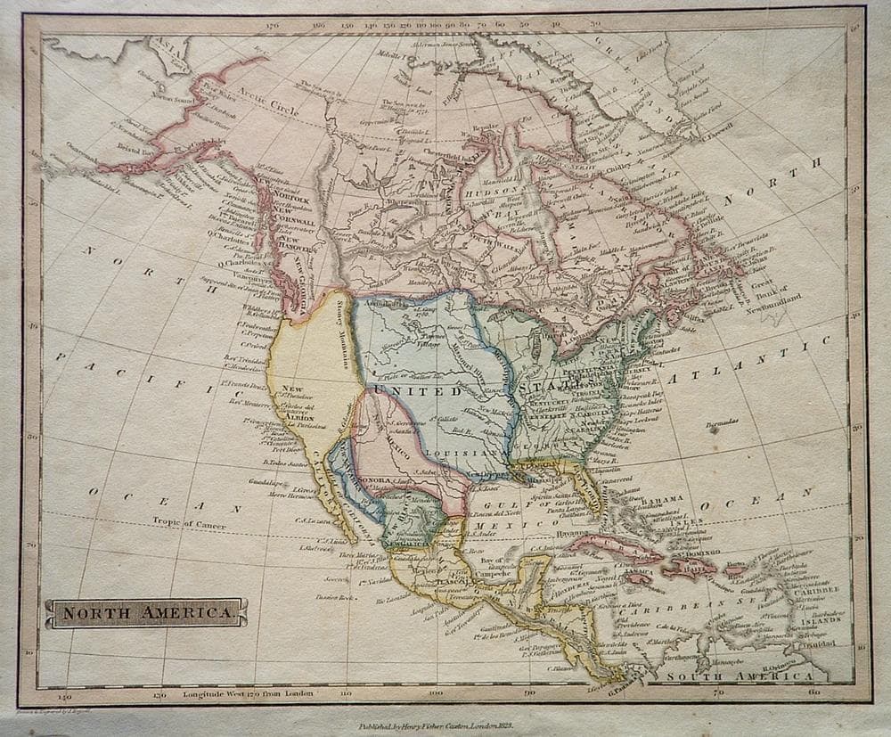
“North America”
c. 1823
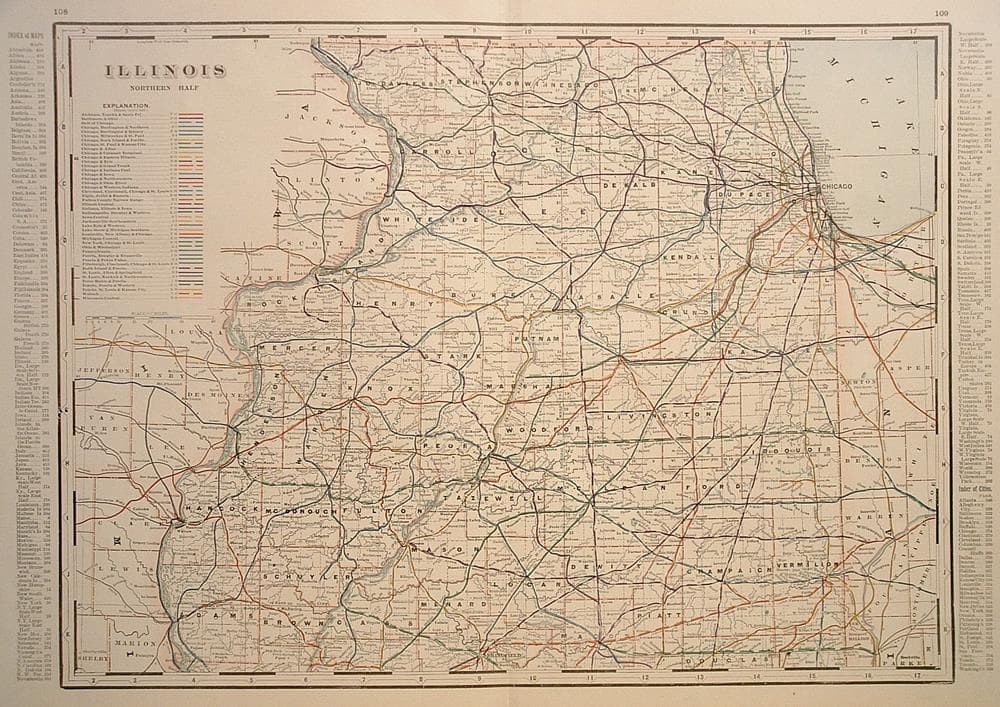
“Illinois Northern Half, Railroad Map”
c. 1892
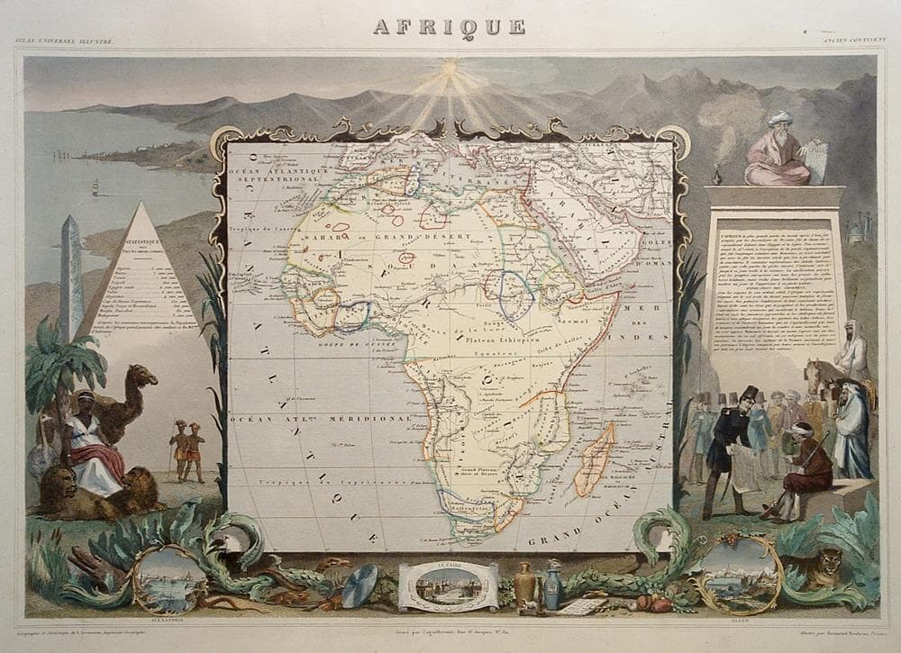
“Afrique”
c. 1845
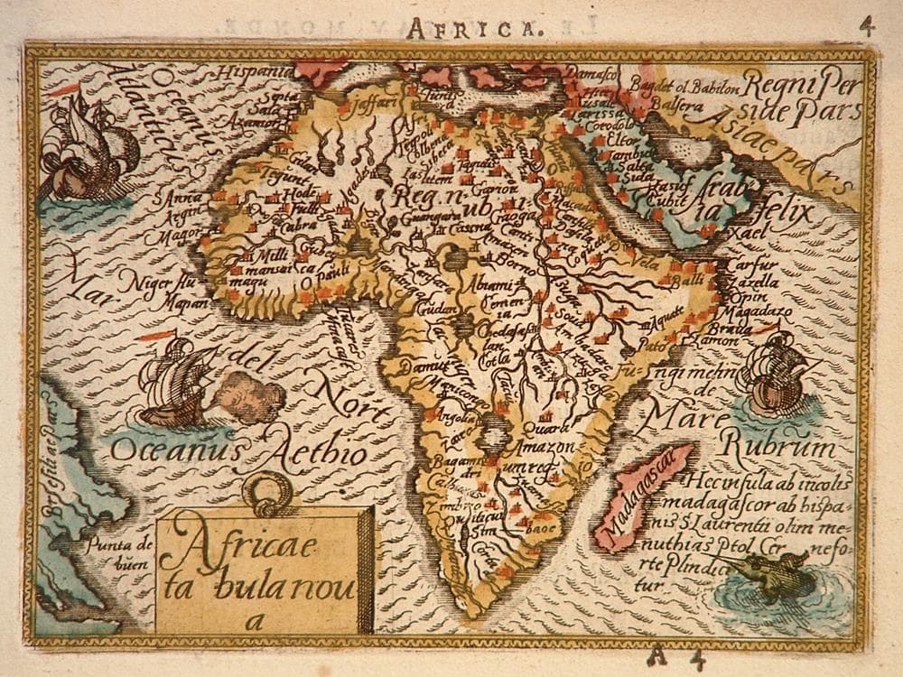
“Africae Tabula Nova”
c. 1588
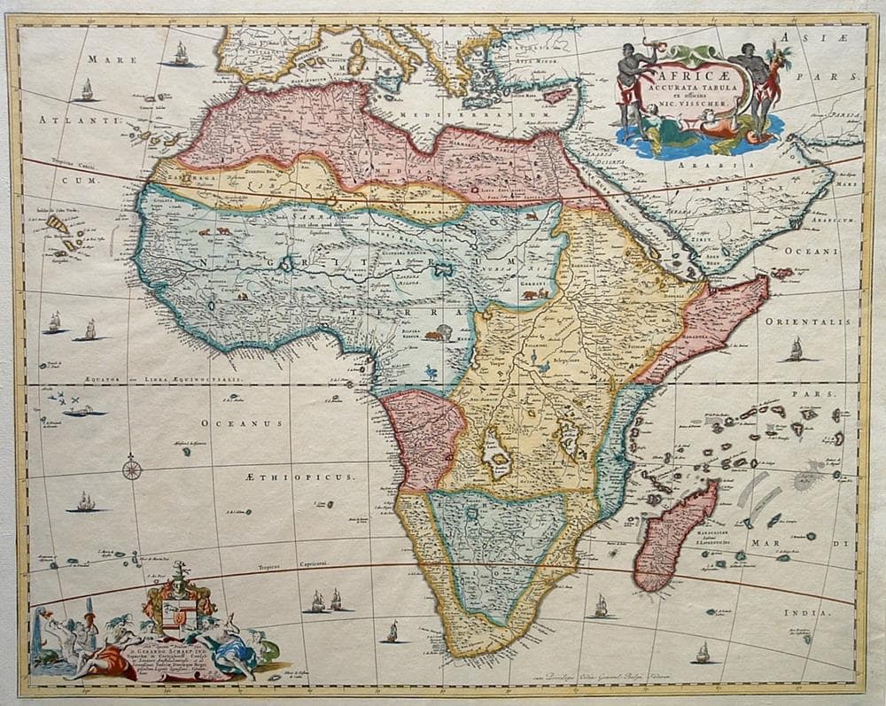
“Africae Accurata Tabula ex Officina”
c. 1680
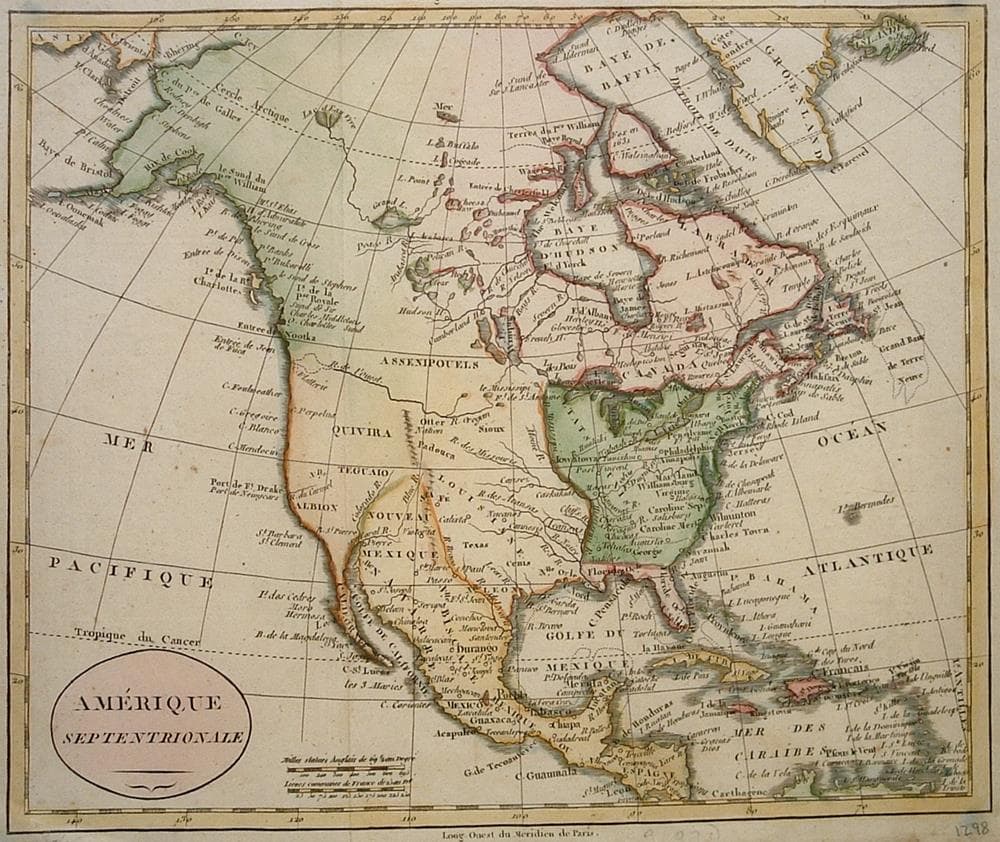
“Amerique Septentrionale”
c. 1750
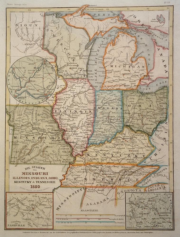
“Missouri, Illinois, Indiana, Ohio, Kentucky and Tennessee…”
c. 1850
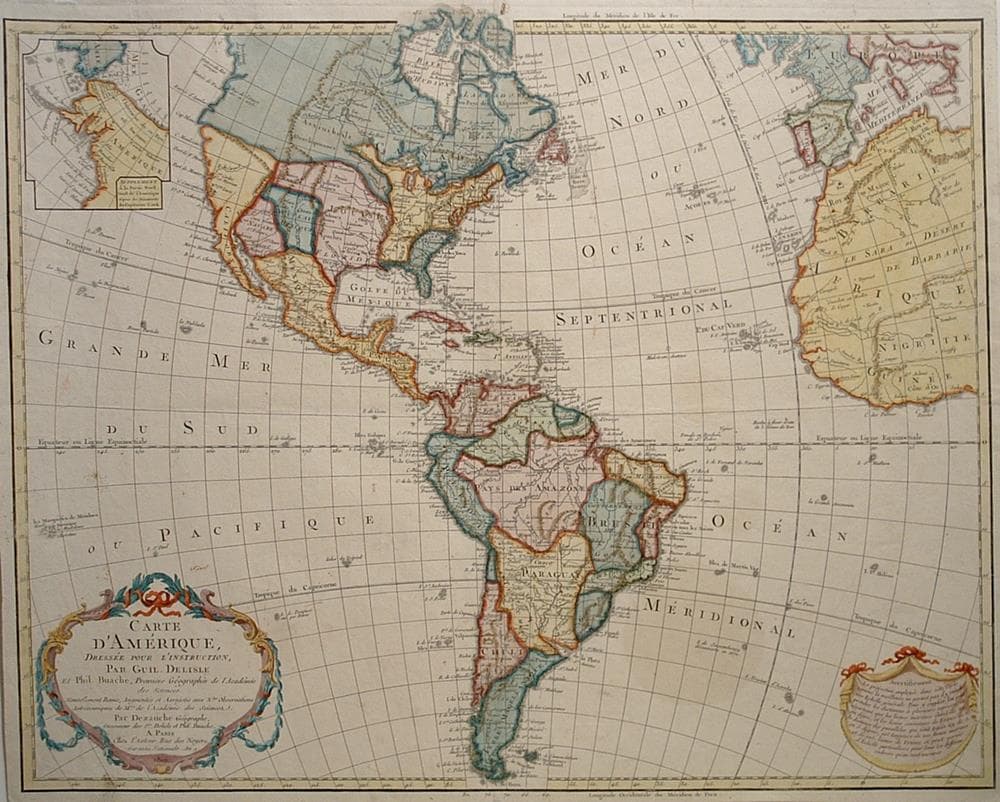
“Carte d’Amerique, Dressee pour L’Instruction…”
c. 1800
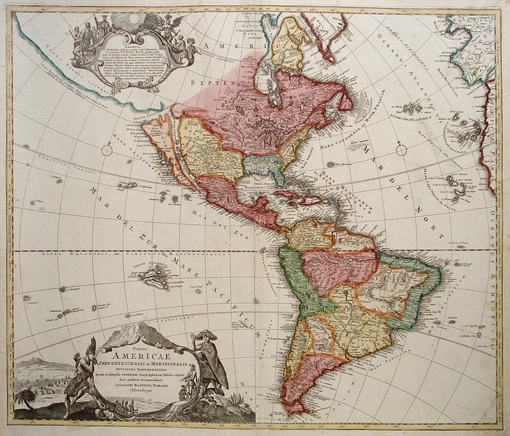
“Totius Americae Septentrionalis et Meridionalis…”
c. 1730
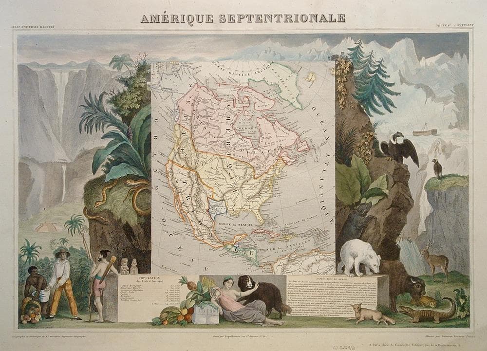
“Amerique Septentrionale”
c. 1845
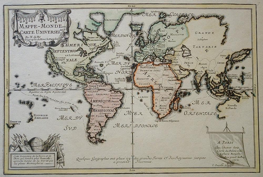
“Mappe-Monde ou Carte Universelle”
c. 1702
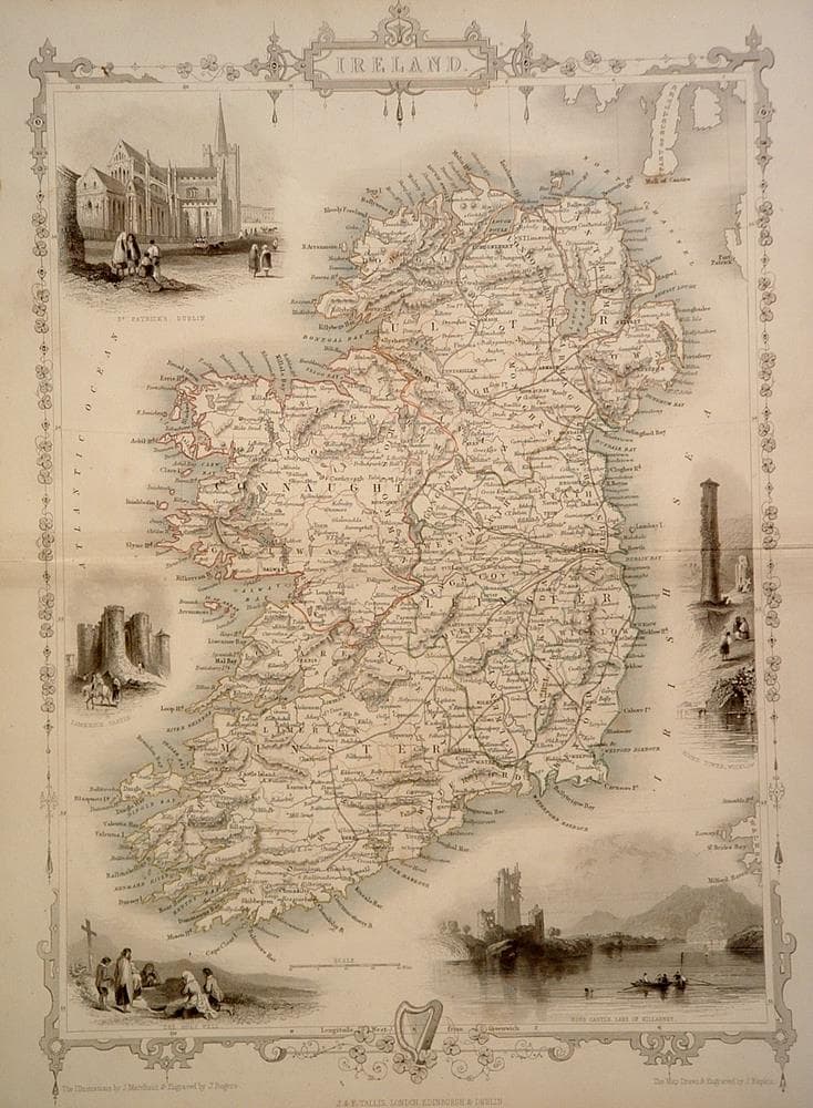
“Ireland”
c. 1850
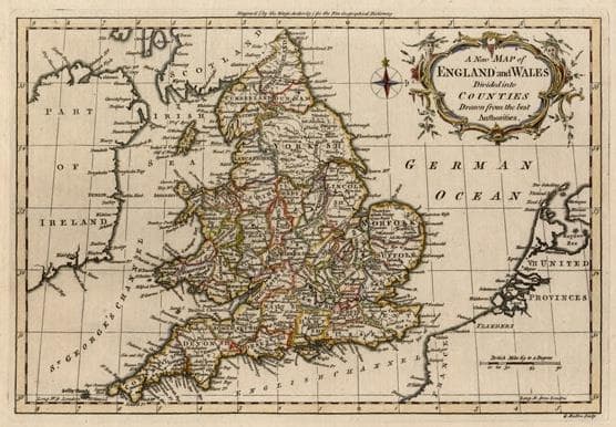
“A New Map of England and Wales…”
c. 1759
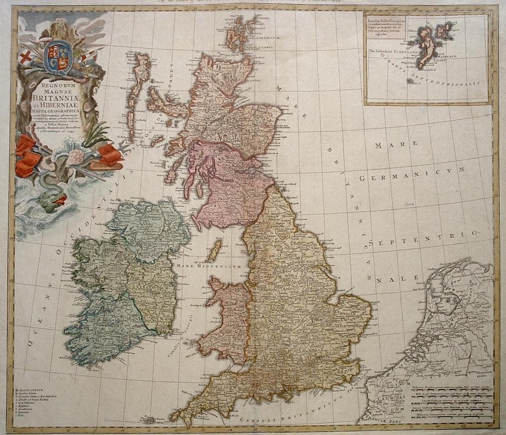
“Regnorum Magnae Britanniae et Hiberniae Mappa Geographica…”
c. 1749
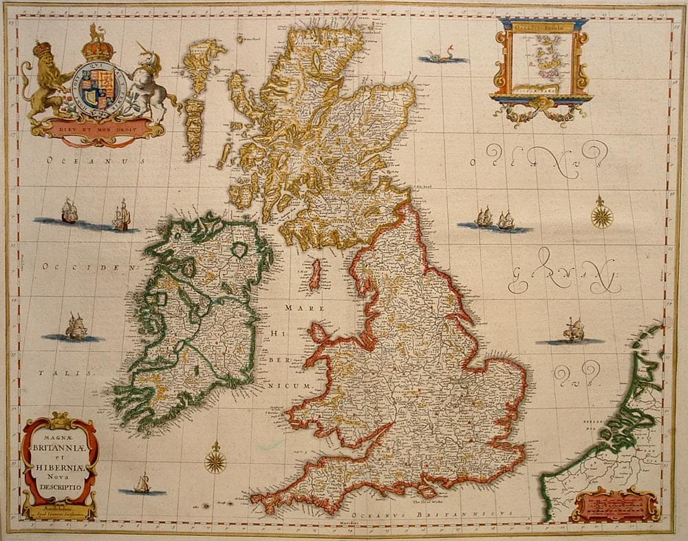
“Magnae Britanniae et Hiberniae Nova Descriptio”
c. 1653
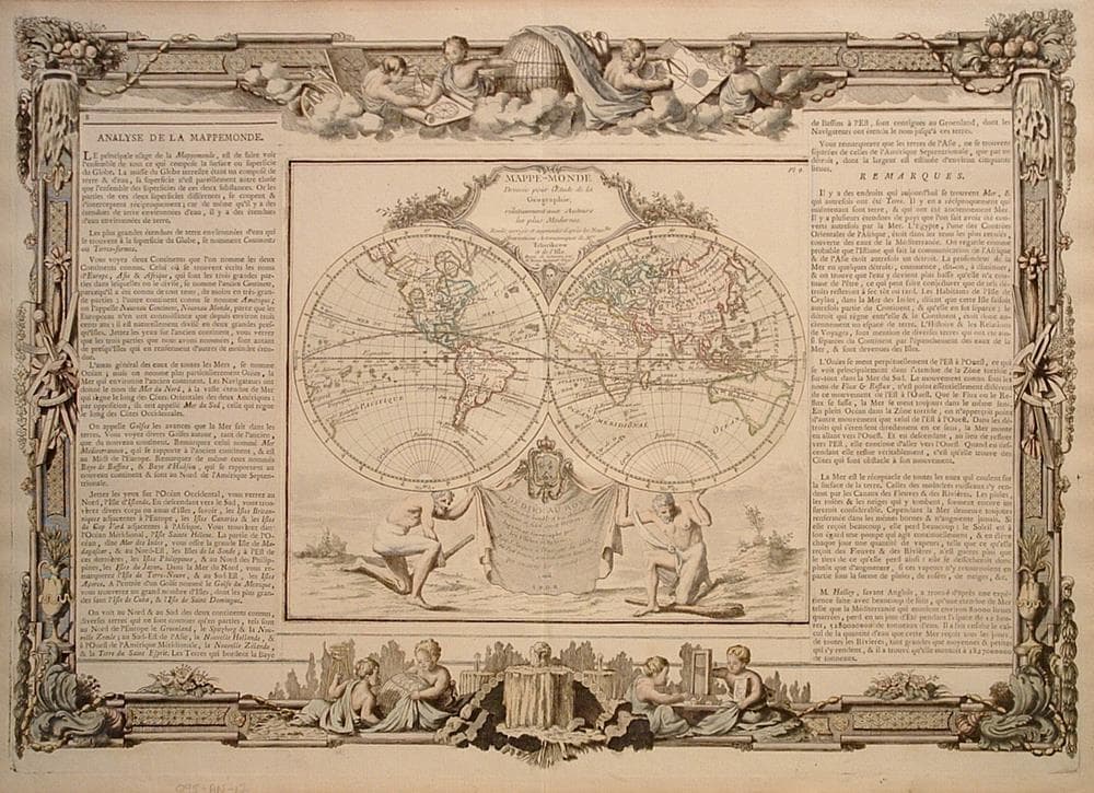
“Mappe-Monde Dressee pour l’etude de la Geographie”
c. 1766
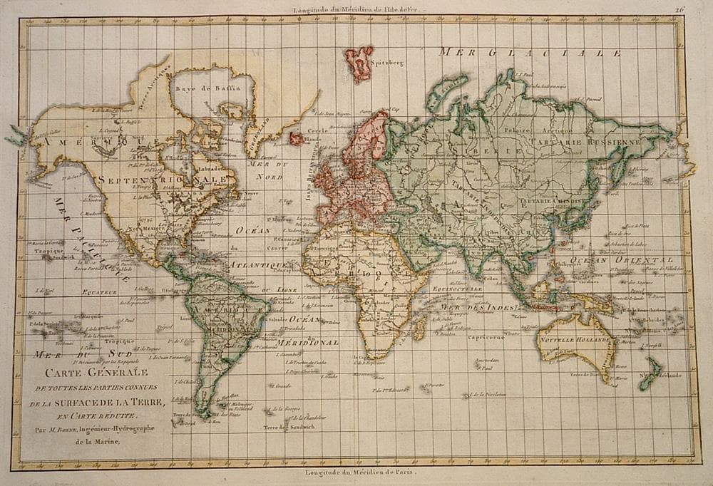
“Carte Generale de Toutes les Parties Connues de la Surface de la Terre…”
c. 1780
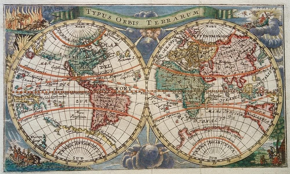
“Typus Orbis Terrarum”
c. 1730
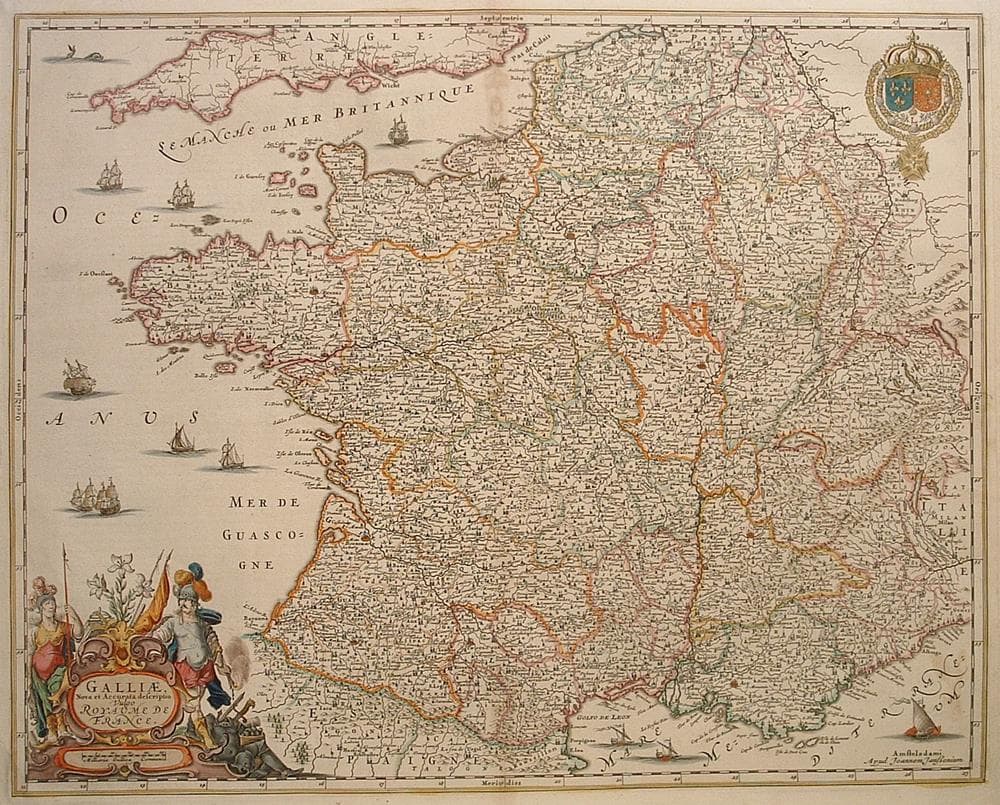
“Gallia Nova et accurata descriptio vulgo Royaume de France”
c. 1660
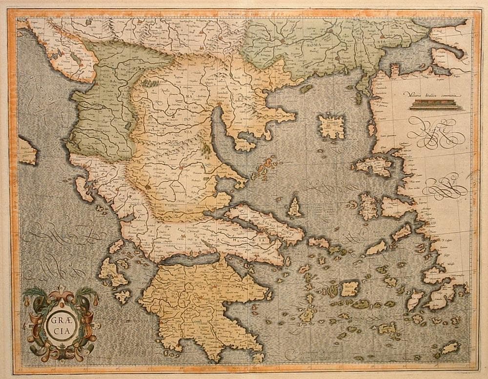
“Graecia”
c. 1613
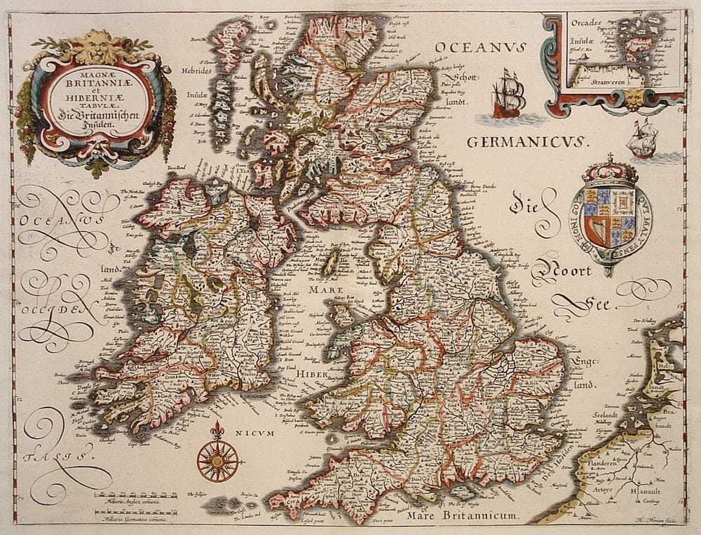
“Magnae Britanniae et Hiberniae Tabulae…”
c. 1641
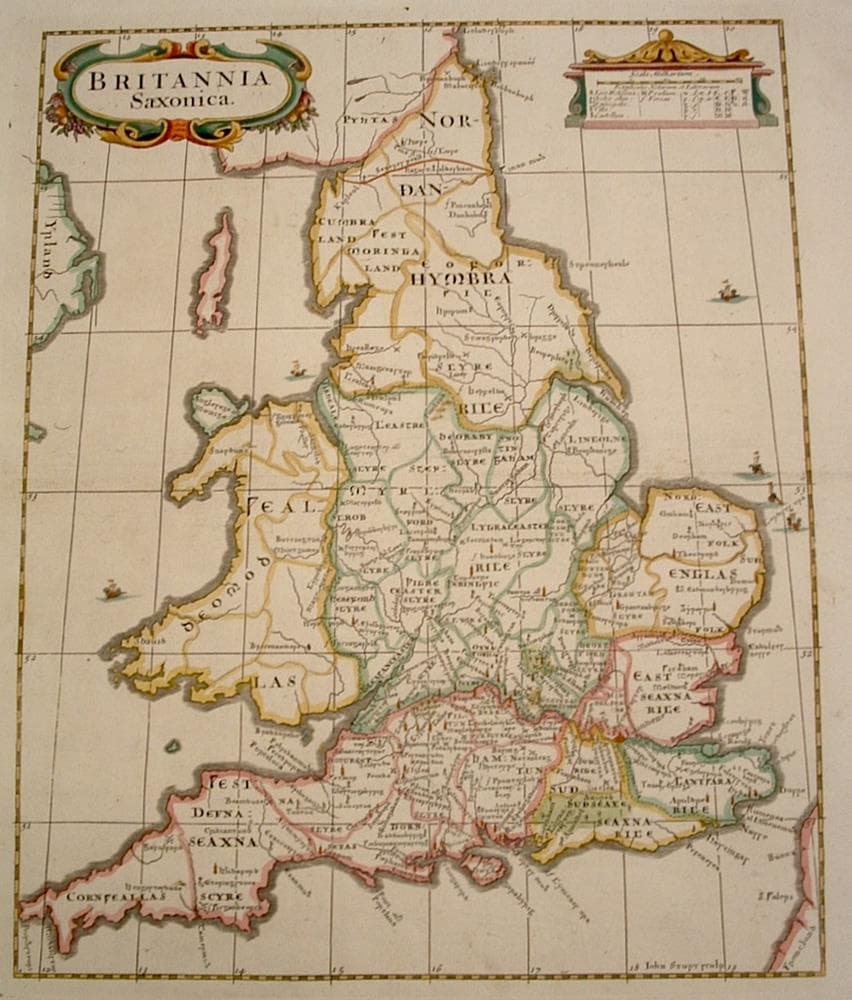
“Britannia Saxonica”
c. 1695
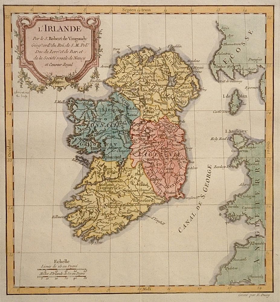
“L’Irlande”
c. 1778
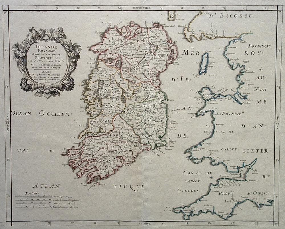
“Irlande Royaume divise en ses quatre provinces..”
c. 1665
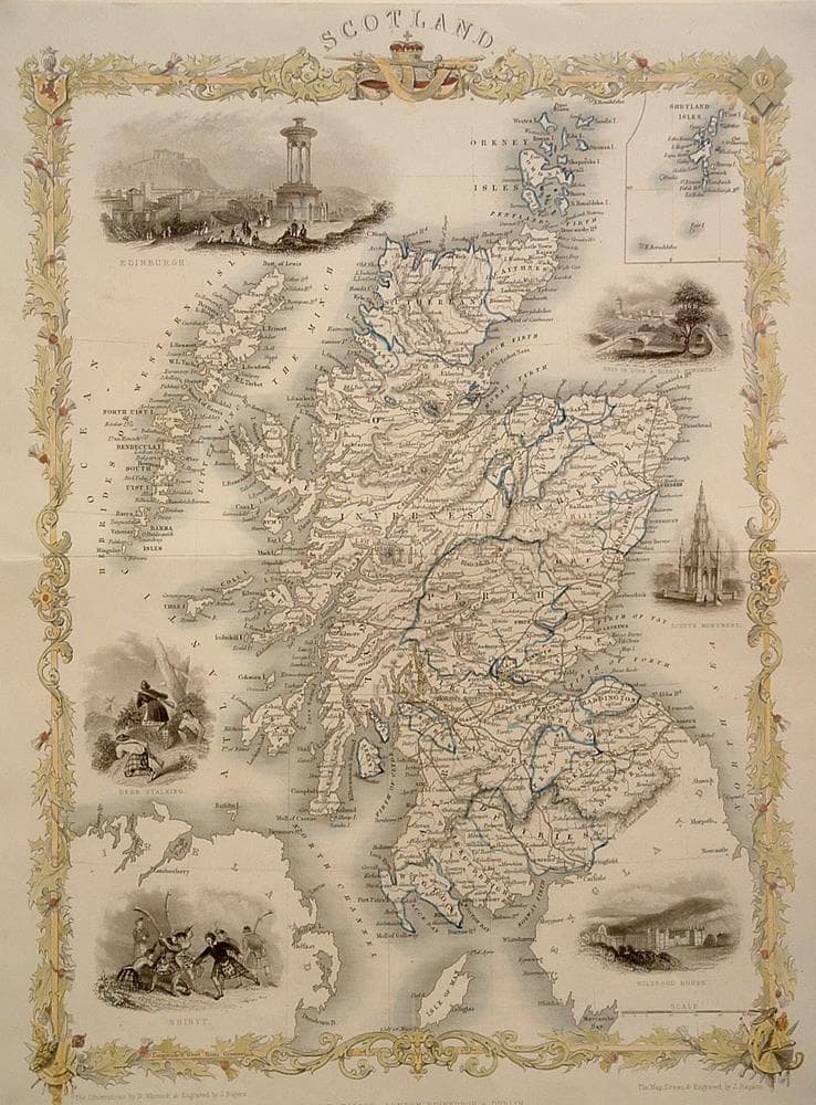
“Scotland”
c. 1850
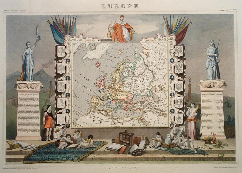
“Europe”
c. 1845
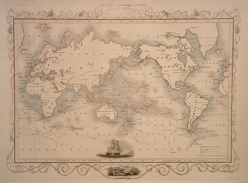
“The World on Mercators Projection…”
c. 1851
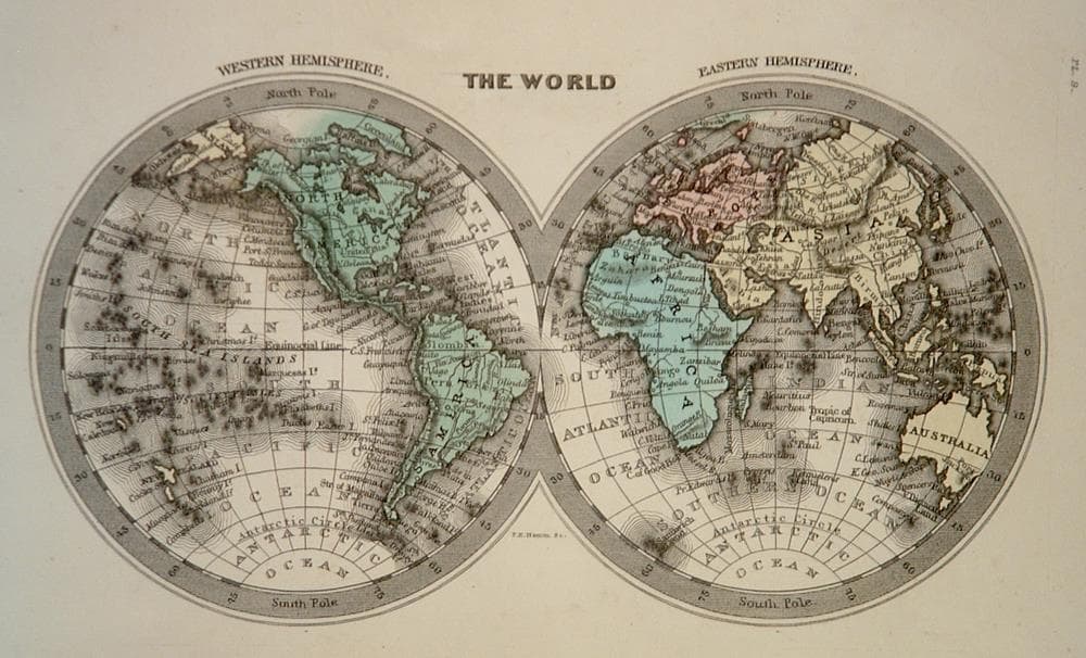
“The World”
c. 1832
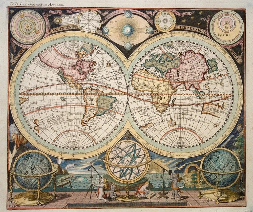
“Planisphaerium Terrestre”
c. 1712
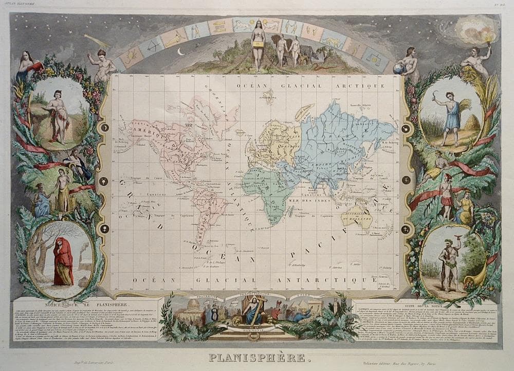
“Planisphere”
c. 1855
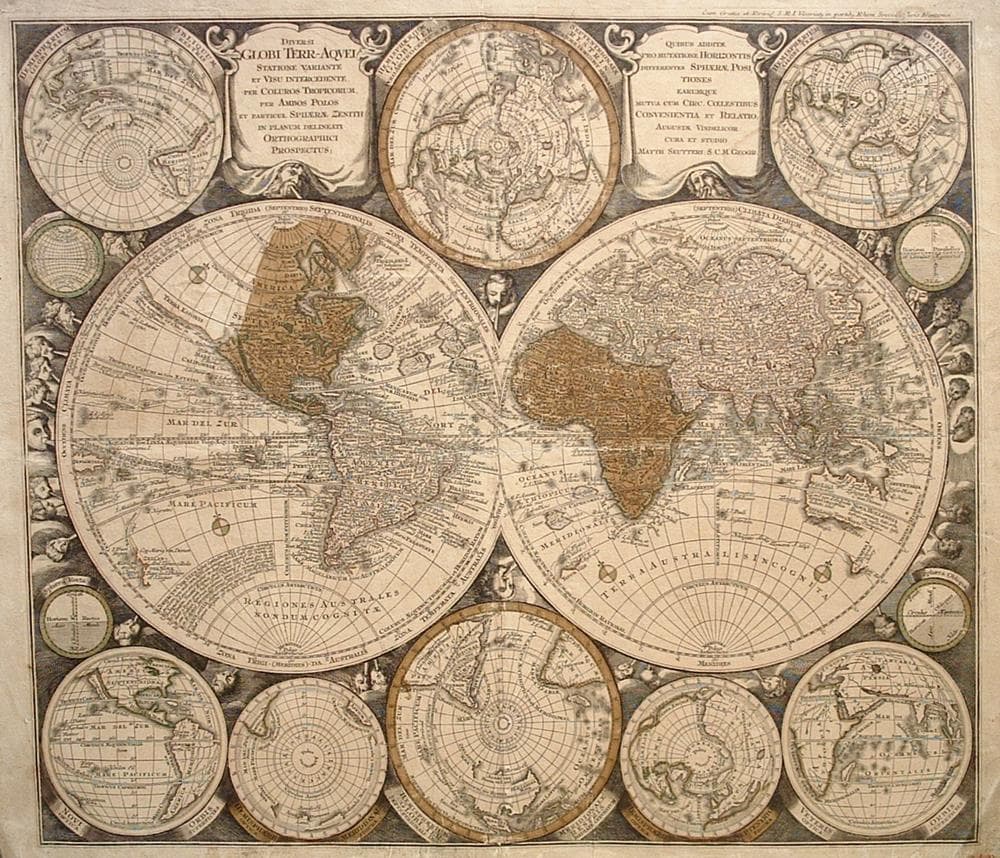
“Diversi Globi Terr-Aquei Statione”
c. 1740
