
$250 (Framed)
Description
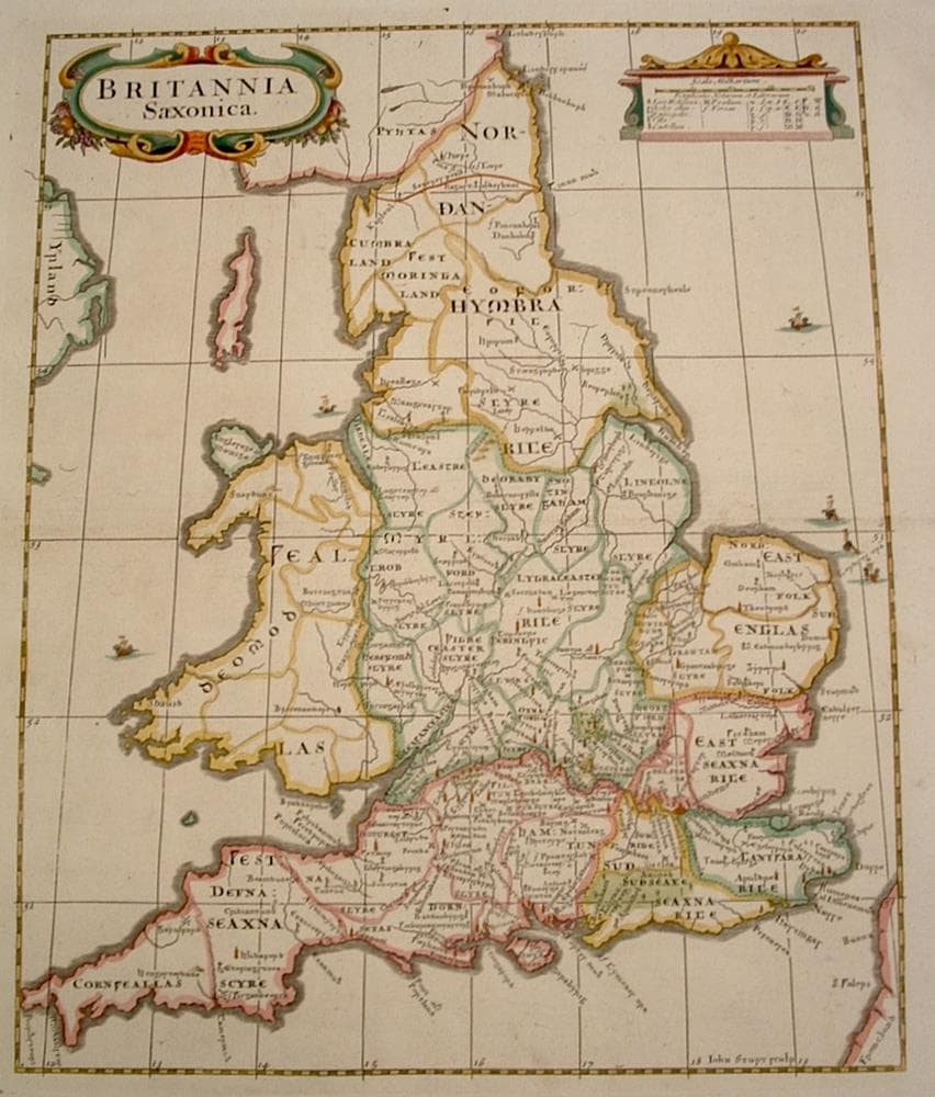
Map done for Morden’s “Camden’s Britannia”; showing tribal divisions of the Dark Ages in Runic lettering.
Year1695
Item#879
ConditionVG
DESCRIBING A MAP’S CONDITION IS HIGHLY SUBJECTIVE. ART POST USES A RATING SYSTEM COMMON TO MAP DEALERS THROUGHOUT THE WORLD:
- Very Fine (VF) – Map is clean and bright with a strong image.
- Fine (F) – Map generally has a clean, sharp image. Flaws and repairs are noted.
- Very Good (VG) – Map has no significant imperfections, though paper quality and margin size may vary. Minor flaws such as wormholes, age toning, or a centerfold separation not affecting the image may be present.
- Good (G) – Map bears noticeable imperfections but remains in collectible condition. Foxing, a weak map image, and/or a wide centerfold separation are described.
All maps sold by Art Post are in collectable condition.
Size 18" x 16" (Framed)
RegionBritish Isles
Bio
Robert Morden (1668 – 1703) was a publisher, bookseller, mapseller, cartographer, globe and instrument maker. He worked in London at the Atlas in New Cheapside and at the Atlas in Cornhill from 1675 to 1703. His output in cartographical works was quite large and varied. His work was often much criticized but he produced interesting sets of geographical playing cards, maps of various parts of the world and the county maps for Camden's Britannia, for which he is best remembered. These were issued in 1695 as part of a new translation of the Britannia by Dr Edmund Gibson and subsequently were re-issued a number of times up to 1772.


984 G Willow Road | Northbrook IL 60062
(Willow & Waukegan Roads — near Whole Foods)
Questions?
Gallery: 847-272-7659 or Cell/Text: 847-732-8148
Weekdays: 10:30 to 5:30 | Sat: 10:30 to 5:00 | Sun: 1:00 to 4:00
Email: artpostgallery@comcast.net
Never miss an important event, new arrivals or special offerings.
Sign-up for
our periodic announcements: