
$450 (Framed)
Description
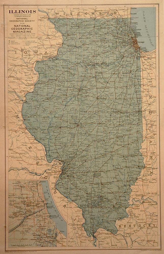
Drawn for the National Geographic Magazine. With an insert of Chicago, detail on towns, rail lines, highways, rivers, lakes and canals.
Repaired binder holes; small hole in margin.
Year1931
Item#1251
ConditionG+
DESCRIBING A MAP’S CONDITION IS HIGHLY SUBJECTIVE. ART POST USES A RATING SYSTEM COMMON TO MAP DEALERS THROUGHOUT THE WORLD:
- Very Fine (VF) – Map is clean and bright with a strong image.
- Fine (F) – Map generally has a clean, sharp image. Flaws and repairs are noted.
- Very Good (VG) – Map has no significant imperfections, though paper quality and margin size may vary. Minor flaws such as wormholes, age toning, or a centerfold separation not affecting the image may be present.
- Good (G) – Map bears noticeable imperfections but remains in collectible condition. Foxing, a weak map image, and/or a wide centerfold separation are described.
All maps sold by Art Post are in collectable condition.
Size 25" x 18" (vertical) (Framed)
RegionAmerica's
Bio


984 G Willow Road | Northbrook IL 60062
(Willow & Waukegan Roads — near Whole Foods)
Questions?
Gallery: 847-272-7659 or Cell/Text: 847-732-8148
Weekdays: 10:30 to 5:30 | Sat: 10:30 to 5:00 | Sun: 1:00 to 4:00
Email: artpostgallery@comcast.net
Never miss an important event, new arrivals or special offerings.
Sign-up for
our periodic announcements: